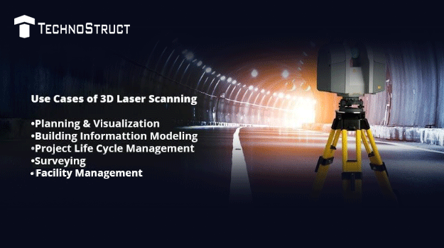
Introduction
Business leaders across the globe have now realized the importance of technology in transforming the operational aspects of an industry. That is why even industries like Construction which have been slow on adoption and diffusion of technology are leveraging technology across their value chain. One of such technological intervention that has caught the fancy of leading of all leading players in construction industry is 3D Laser Scanning.
Here’s an in-depth analysis of the workings and benefits of this technology for construction industry.
How it Works
The main use case of 3D Laser scanning is primarily scanning an existing structure, so as to collate data and to use and maneuvere the given data to improve workflow and efficiency. Here’s a step-by-step insight into it’s functioning:
1) Planning and Visualization
- The device shoots a laser at the target and then captures data in return. So it scans a vertical line, then it pivots a small degree and then scans the next vertical line. It continues like this across the entire property in consideration. It does a 270-degree scan which manages to pick up a 360-degree space.
- When the instrument is set up, everything it can see it records. It will pick up a surface of an aluminum frame, a plastered wall and also even has the ability to pick the details of a doorknob, switch and more. Thus, every object it can see, it can actually survey.
- The scanner picks up millions and millions of points and the points are registered on a survey grid. We can use the raw data, the x, the y, and the z coordinates to build 3D geometric models or we can use the image captured model to do visualizations, walkthroughs and understand the actual overall contours of the site.
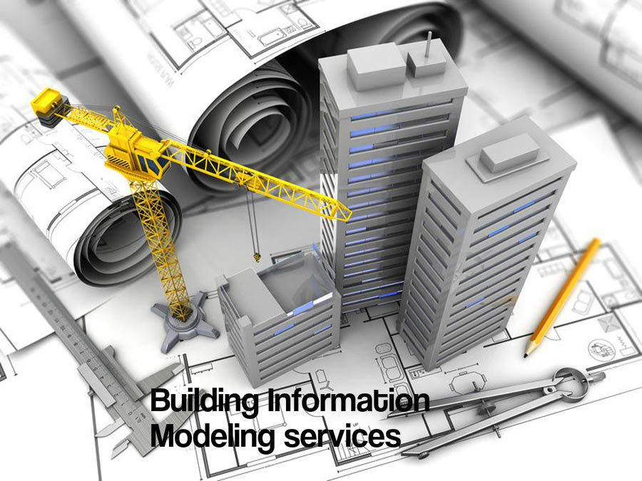
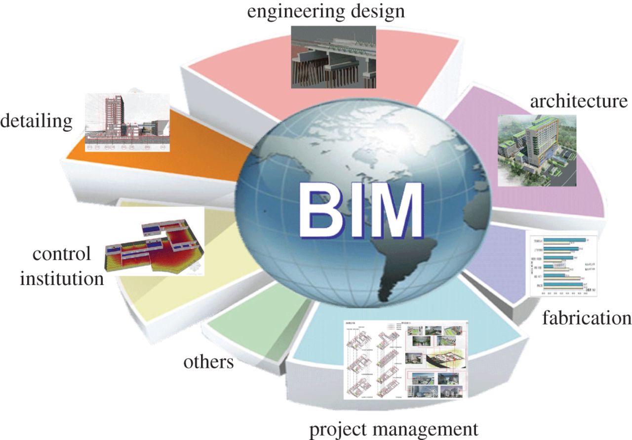
2) Building Information Modeling
- When we do post-processing, we convert x,y,z cordinates to true world coordinates. So that we can tell where the point is in the real world and we can visualize these points in a 3D environment. We can then review the model, spin it around, zoom into an area and then we can use that information to build design models or 3D BIM models that we can use for floor plan drawings, elevation drawings, etc. We can even cut sections through the point cloud.
- We can actually generate traditional documents very quickly and we know that there are representations of the actual space. Then from a design perspective, we can design a new system inside that point cloud. We can put a new ceiling into that space. If it’s a retail space, we can put a new shop in front so as to be able to see what the changes look like in that space.
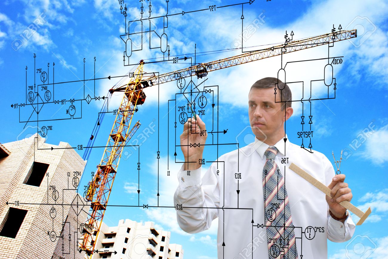
3) Project Lifecycle Management
- It’s very handy for visualization and understanding of design concepts. When we do the laser scan, we are getting all the information we may need throughout the lifecycle of the project.
- On a project, we might be doing a new build or we might be doing a refit. If we are doing a refit, we’ll scan an existing building, so that we have a record of what we are keeping and an accurate survey and then we can figure out if we want to demolish certain rooms then we can refit them in a particular way. Thus we know that the new systems would fit inside the old systems.
4) Surveying
- We can also get very detailed accurate surveys during the construction phase, which the contractors like because it doesn’t slow down their progress. And all the data can then be used for measurements, for building models, for calculating floor areas, for calculating heights.
- There are many uses for the actual point cloud information. We maybe surveying steelwork because we have to attach a cladding system to it or a railing system to it. So we capture the survey information and then a couple of weeks later, somebody says, that they actually need a measurement for the internal systems or the wall systems, we don’t have to go back to the site again. We have already got all the points. So we can basically go back and re-measure the scan for that. It is essentially a very powerful survey tool.
5) Facility Management
- Imaging if you don’t have a BIM system, you can still could actually survey the facility, capture all the information in 3D and it is still a good foundation for helping you with facility management.
Benefits
- For the developers, the biggest benefit of this is basically surveying existing spaces. In a couple of hours, we can create a survey of an existing facility which is an exact representation of what’s there. So we can measure the floor areas for the developer, calculate how much space they’ve got and then they can use that for negotiating leases, etc
- It’s a very powerful tool just to get an as-built condition of a space that they already own or that they are planning to purchase or invest in. People are starting to realize that they are asking for the scan for one reason and then they are realizing that they can actually make use of it for two or three other purposes.
- It’s clear that the 3D cloud point data produced by high definition scanning combined with Building Information Modeling or BIM has practical, time and cost-saving applications throughout a developer’s design workflow. This technology will help save time, especially at the initial stages for repositioning projects.
3D modelling software is one of the Read more
A construction designer is a hired professional Read more