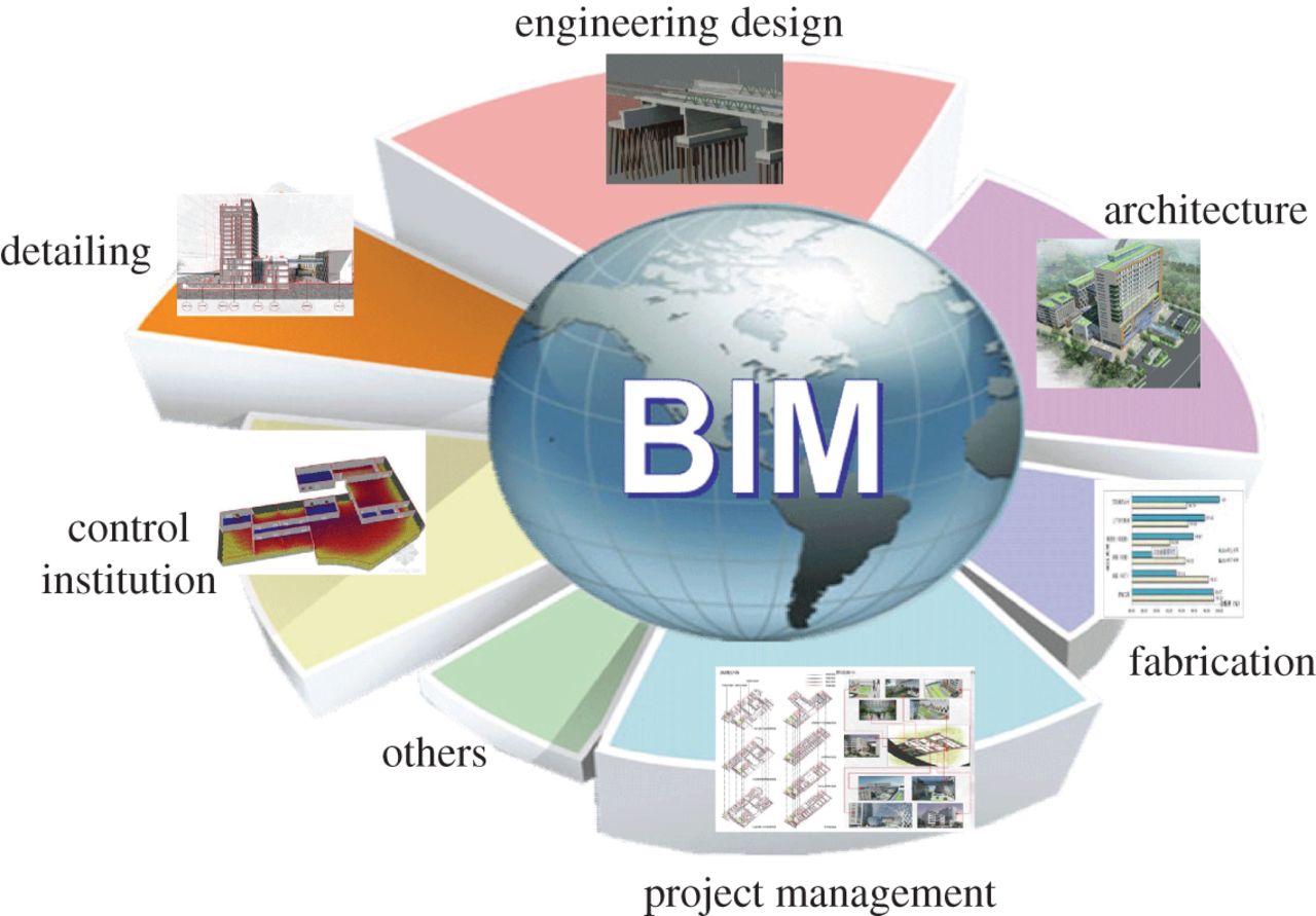
The Construction Industry is a chief contributor to the US economy. It has employed over half a million construction companies and generates nearly $1.3 trillion worth of structures each year. Some of the buildings are still designed using traditional methods of construction as they have been the accepted norm for a long time. But with the ongoing shift from traditional computer-aided drafting & design (CAD) to building information modeling (BIM) tools, there have been enhancements in the AEC (architecture, engineering and construction) industry.
AIA’s biannual report ‘The 2018 Business of Architecture’, suggests that one of more BIM software programs have almost fully penetrated large firms, ~72 percent in mid sized firms, and ~28 percent in small firms in the US construction industry. But apart from having access to these developments, AEC professionals required access to the data they needed to make better planning and design decisions.
The AEC industry is looking at a paradigm transformation- how the stakeholders are placing data at the center of the projects, giving the project team access to this data throughout the project life cycle – allowing project teams with access to more complete and accurate data when they need it. With the latest advancements, stakeholders (GIS and design teams) have been able to establish integrated flows of geospatial data between GIS and BIM design tools, design smarter and improve the quality of the projects.
In a developing world, where the infrastructure of the city and or even a house has an impact on the existing network of roads, buildings, bridges, rail lines, utilities, ground conditions, and so on, the AEC professionals like Civil engineers, designer, architects, and planners are solving problems to improve the lives of citizens and communities. Planners, engineers and designers mostly rely on the data stored in the GIS that helps them in determining the effect of their project in accordance with the site’s existing geographic situation– including topography, floodplain, connecting roads, and underground infrastructure. But, having access to this raw data often comes with delays and inefficiencies, including:
- Complexities with data transfer: GIS and BIM or CAD are two different software which works on different workflows, formats and expertise, thus their integration comes with complexities which increase the cost of movement of data between them.
- Lost opportunities: Inefficient data flow obstructs the ability to take advantage of project data for the effective consideration of such issues as climate change, growing urbanization, and changing demographics.
- Manual Error & Costly Delays: To access GIS data in BIM software, manual data entry is done which during conversion increases the potential for errors and data loss.
- Outdated data: Till the time data is collected and updated into the geographical information system there comes a lot of discrepancies in the ground reality and the data.
What is the solution? How to integrate geographical information into designs?
With Autodesk Connector for ArcGIS, the experts can integrate the flow of data between GIS and Autodesk Works and Autodesk CIVIL 3D. This software will enable infrastructure professionals to read GIS data directly into their design model, and further use the information to develop a real-world design for your project.
Here are the benefits that you will unlock upon the integration of GIS and design data:
- Enhance GIS data request coordination
- Improve design optimization workflows
- Efficient & Effective field-to-office data updates
- Better consistency between GIS and design data
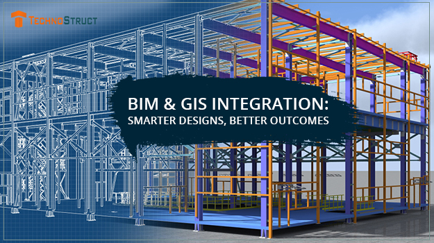
The integration of BIM (Building Information Modeling) & GIS (Geographical Information System) will help construction companies to overcome the challenges faced by AEC professionals and allow streamlining the data at a low cost. This integration will further improve the building/infrastructure designed offered to an individual or the whole community.
TechnoStruct LLP is a leading name in the architecture, engineering and construction industry. It specializes in providing mechanical and engineering solutions, designing, BIM service providers, and construction solutions to commercial projects across industries, with a diversified range of services including but not limited to BIM, MEP engineering and designs, Mechanical engineer solution, BIM consulting firm, and many more.
3D modelling software is one of the Read more

A construction designer is a hired professional Read more